States of Mexico - Geography Quiz Game - Puzzle Game
Prompt
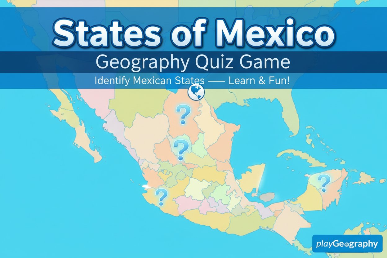
Game Introduction
About the Game
States of Mexico is an engaging educational puzzle game that transforms geography learning into an interactive adventure. With a 4.4/5 rating, this free browser-based game challenges players to identify and locate all Mexican states on a colorful, interactive map.
Whether you're a geography enthusiast looking to test your knowledge or a student wanting to learn about Mexico's territorial divisions, this game offers an entertaining way to explore the beautiful country known for its vibrant culture and rich history.
Core Features
Interactive Learning Experience
The game presents Mexico's map in a clear, colorful format that makes identifying states both challenging and visually appealing. Each round randomly selects states for you to identify, ensuring varied gameplay and comprehensive learning.
Educational Value
- Complete Coverage : Learn all 32 Mexican states and their locations
- Visual Learning : Interactive map-based approach reinforces geographical memory
- Self-Paced : Play at your own speed without time pressure
- Progress Tracking : Build your knowledge incrementally with each game session
Accessibility Features
- Free to Play : No cost or registration required
- Cross-Platform : Works perfectly on desktop computers and mobile devices
- Browser-Based : No downloads needed - play instantly in any modern web browser
- Touch-Friendly : Optimized for both mouse and touch controls
Gameplay Mechanics
The game follows a simple yet effective quiz format. You'll be presented with Mexico's map showing all state boundaries, and then asked to identify specific states by name. Simply click or tap on the state you believe matches the given name.
Game Flow
- Map Presentation : A detailed map of Mexico appears with clearly marked state boundaries
- State Challenge : You're asked to identify a specific Mexican state
- Selection : Click or tap on the state you think is correct
- Feedback : Immediate response showing whether your answer is correct
- Progress : Continue through different states to complete your geography knowledge
Operation Guide
Desktop Controls
- Mouse : Point and click on the state you believe is the correct answer
- Navigation : Use mouse to explore different areas of the map
- Selection : Single-click to make your state selection
Mobile Controls
- Touch : Use your finger to tap on the correct state
- Zoom : Pinch to zoom in/out for better visibility on smaller screens
- Precision : Tap accurately on smaller states for proper selection
Tips for Success
- Start with larger, more recognizable states to build confidence
- Pay attention to distinctive shapes and coastal features
- Use Mexico's borders with the US, Guatemala, and Belize as reference points
- Remember that Mexico has both Pacific and Atlantic coastlines
Why Play This Game
Educational Benefits
This game transforms dry geography facts into an interactive learning experience. It's perfect for students preparing for geography tests, travelers planning trips to Mexico, or anyone interested in expanding their world knowledge.
Cognitive Development
Geography games like States of Mexico enhance spatial reasoning, visual memory, and pattern recognition skills. Regular play can significantly improve your ability to visualize and remember geographical information.
Cultural Appreciation
Learning about Mexico's states provides insight into the country's diverse regions, from the desert landscapes of northern states to the tropical areas in the south. Each state has its own unique culture, history, and geographical features.
Convenience and Accessibility
As a free, browser-based HTML5 game, States of Mexico can be played anywhere, anytime. Whether you have five minutes or an hour, you can engage in meaningful learning that fits your schedule.
Perfect for Multiple Audiences
- Students : Excellent study aid for geography classes and exams
- Teachers : Engaging classroom tool for interactive learning
- Travel Enthusiasts : Great preparation for Mexico trips
- Geography Lovers : Fun way to test and expand knowledge
- Casual Learners : Easy, stress-free educational entertainment