Play Geography: 50 States - Puzzle Game
Prompt
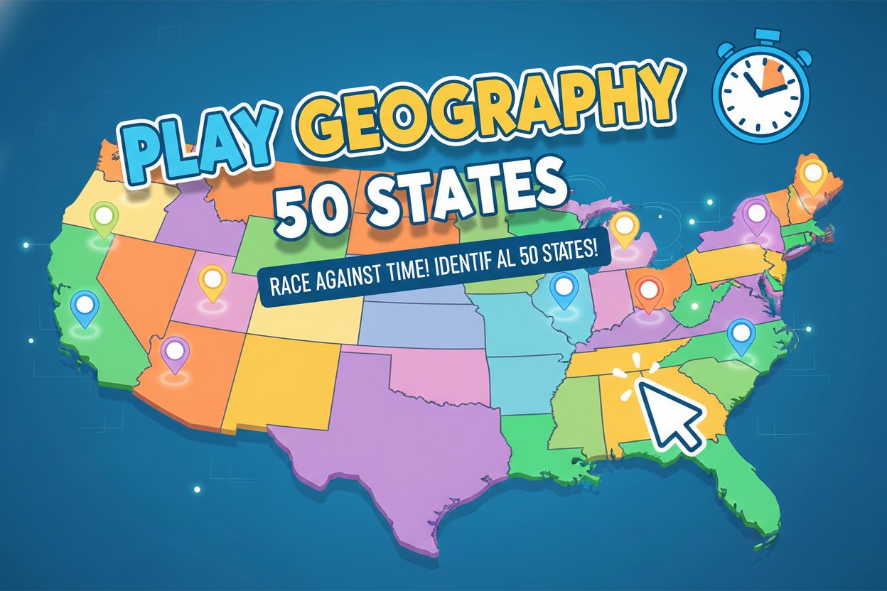
Game Introduction
About the Game
Play Geography: 50 States is an interactive educational game that transforms learning US geography into an exciting challenge. With a solid 3.4/5 rating from players, this browser-based quiz game tests your ability to locate all 50 American states on an interactive map. Whether you're a student studying geography or someone looking to refresh your knowledge of American states, this game provides an entertaining way to learn.
The game combines education with entertainment, featuring a colorful, easy-to-read map of the United States where you'll need to identify states ranging from obvious ones like Texas and California to trickier locations like Delaware and Rhode Island.
Core Features
Educational Learning System
The game doesn't just test you - it teaches you. When you make an incorrect guess, the game immediately shows you the correct location and provides helpful feedback. This instant correction system ensures you learn from mistakes and improve with each playthrough.
Timed Challenge Mode
Race against the clock as you identify states across America. The timer adds excitement and helps you track your improvement over multiple sessions. Challenge yourself to beat your previous best times while maintaining accuracy.
Performance Tracking
The game keeps track of both your speed and accuracy, allowing you to: - Monitor correct answers vs. incorrect guesses - Compare completion times across different attempts - Set personal goals for improvement - Challenge friends to beat your scores
Mobile-Friendly Design
Built with HTML5 technology, the game works seamlessly across all devices. Whether you're using a computer, tablet, or smartphone, you can enjoy the same smooth gaming experience.
Game Mechanics
Each round presents you with a question asking you to locate a specific US state. Simply click on the area of the map where you think that state is located. The game covers all 50 states, from the largest (Alaska) to the smallest (Rhode Island), ensuring comprehensive geographic coverage.
The interactive map is designed for clarity, with distinct state boundaries and colors that make identification easier. States are presented in random order, so you can't rely on patterns - you need genuine geographic knowledge.
Operation Guide
Basic Controls: - Mouse Click : Select the state location on the map - Read Questions : Pay attention to which state you need to find - Visual Feedback : Correct answers are highlighted in green, incorrect ones in red
How to Play: 1. Read the state name that appears on screen 2. Locate that state on the US map 3. Click on the correct area 4. Learn from feedback if you're wrong 5. Continue until you've identified all requested states 6. Check your final score and completion time
Tips for Success: - Start with states you're most confident about - Pay attention to regional clusters (New England, Southwest, etc.) - Remember geographic landmarks (coastlines, Great Lakes, mountain ranges) - Use the learning feedback to memorize difficult states
Why Play This Game
Perfect for Students : This game is an excellent study tool for geography classes, social studies, or anyone preparing for citizenship tests. The interactive format makes memorizing state locations much more engaging than traditional flashcards.
Brain Training : Regular play helps improve spatial memory, pattern recognition, and general knowledge. It's a fun way to exercise your brain while learning useful information.
Family-Friendly Competition : Challenge family members to see who knows US geography best. The scoring system makes it easy to create friendly competitions and track everyone's progress.
No Cost, No Downloads : Completely free to play with no registration required. Simply open your web browser and start playing immediately.
Curriculum Support : Teachers can use this game as a classroom activity or homework assignment to reinforce geography lessons in an interactive way.
Whether you're studying for a test, teaching geography, or simply want to challenge your knowledge of American states, Play Geography: 50 States offers an engaging and educational gaming experience that makes learning geography both fun and effective.