US State Capitals - Geography Quiz Game - Puzzle Game
Prompt
Game Introduction
About the Game
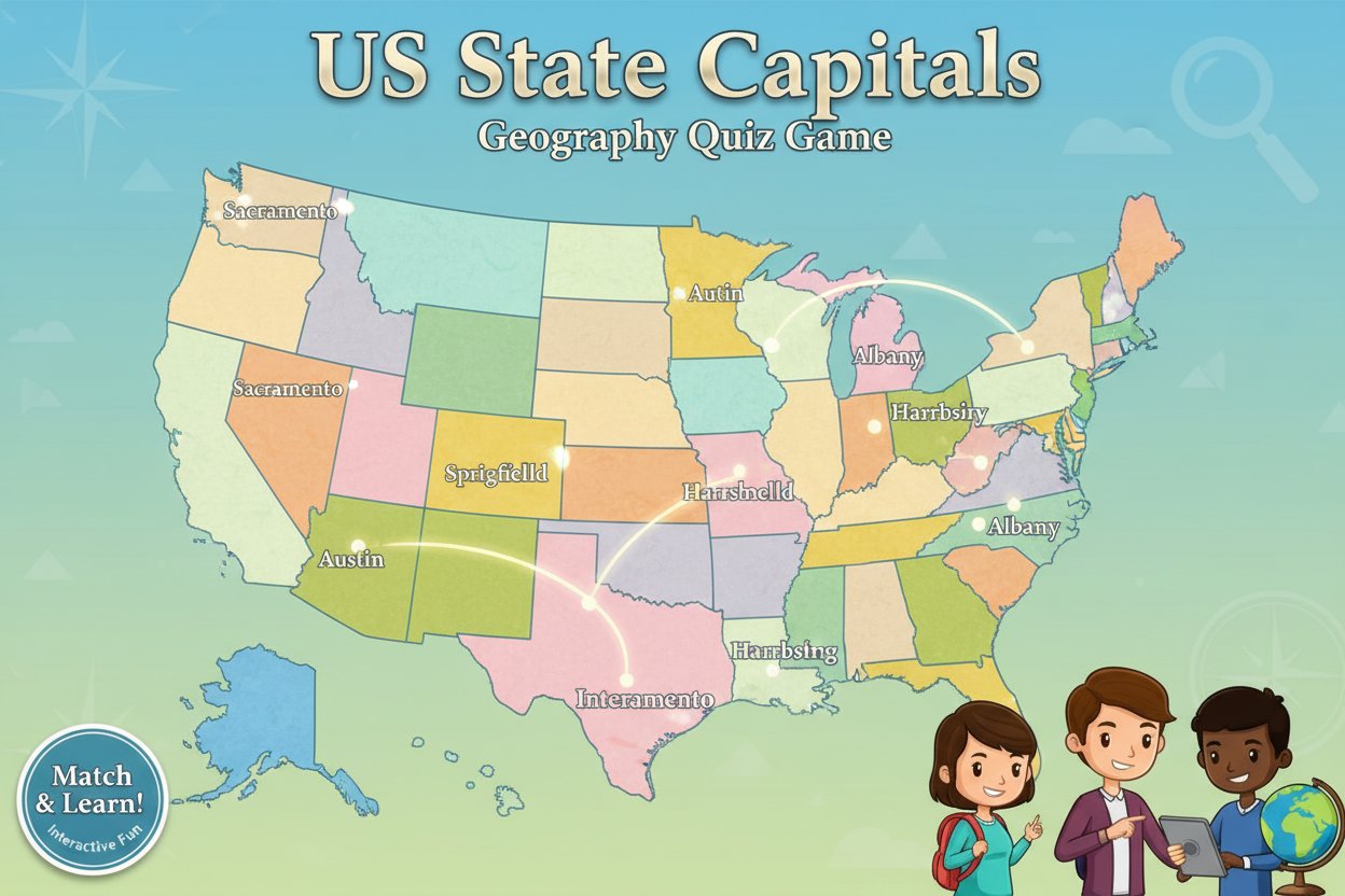
US State Capitals is an interactive geography quiz game designed to test and improve your knowledge of American state capitals. With 50 states to master, this educational puzzle game offers an engaging way to learn one of the fundamental aspects of US geography. The game presents capital cities and challenges you to identify the correct state on a colorful, interactive map of the United States.
This brain-teasing quiz game is perfect for students preparing for geography tests, teachers looking for classroom resources, or anyone interested in expanding their knowledge of American geography. The game's simple yet effective format makes learning state capitals both fun and memorable.
Core Features
Interactive Learning Experience
The game features a vibrant, user-friendly interface with a detailed map of the United States. Each state is clearly marked and color-coded, making it easy to navigate and identify different regions. The interactive design ensures that learning feels more like playing than studying.
Comprehensive Coverage
All 50 US state capitals are included in the game, from well-known capitals like Sacramento (California) and Austin (Texas) to lesser-known ones like Pierre (South Dakota) and Montpelier (Vermont). This comprehensive approach ensures complete coverage of US geography.
Educational Value
Beyond simple memorization, the game helps develop geographical awareness and spatial reasoning skills. Players learn to associate capital cities with their states' locations, building a mental map of the United States that extends far beyond just names.
Instant Accessibility
As an HTML5 game, US State Capitals loads instantly in any modern web browser without requiring downloads or installations. This makes it perfect for quick study sessions or classroom use where immediate access is essential.
Gameplay
How to Play
The gameplay mechanics are straightforward yet effective:
- Capital Presentation : The game displays the name of a state capital at the top of the screen
- State Selection : Players must click on the corresponding state on the interactive US map
- Immediate Feedback : Correct and incorrect answers are indicated instantly, promoting learning through repetition
- Progressive Challenge : As you advance, the game may increase difficulty by presenting less familiar capitals
Learning Strategy
The game encourages active learning by requiring players to make connections between capital names and state locations. This visual-spatial approach to learning is often more effective than simple text-based memorization, as it engages multiple cognitive processes.
Operation Guide
Mouse/Touch Controls : Simply click or tap on the state you believe corresponds to the displayed capital city. The game's responsive design works equally well on desktop computers, tablets, and smartphones.
Visual Cues : Use the map's color coding and state shapes to help identify locations. Larger states like Texas and Alaska are easier to spot, while smaller northeastern states may require more careful attention.
Learning Tips : Start with capitals you already know to build confidence, then work on memorizing the more challenging ones. Pay attention to patterns - many capitals are major cities, but some surprising exceptions exist.
Why Play This Game
Educational Benefits
This game transforms geography learning from passive memorization into active engagement. Students can improve their test scores while actually enjoying the learning process. The immediate feedback helps reinforce correct answers and quickly correct mistakes.
Perfect for All Ages
Whether you're a middle school student studying for a geography test, a high school student preparing for standardized exams, or an adult looking to brush up on American geography knowledge, this game adapts to all skill levels.
Classroom Ready
Teachers can easily incorporate this game into lesson plans, use it for warm-up activities, or assign it as homework. The game's educational focus and appropriate content make it suitable for classroom environments.
Convenient Learning
With no downloads required and full mobile compatibility, you can practice US state capitals anywhere, anytime. Perfect for studying during commutes, lunch breaks, or whenever you have a few spare minutes.