Countries of North America - Interactive Geography Game - Puzzle Game
Prompt
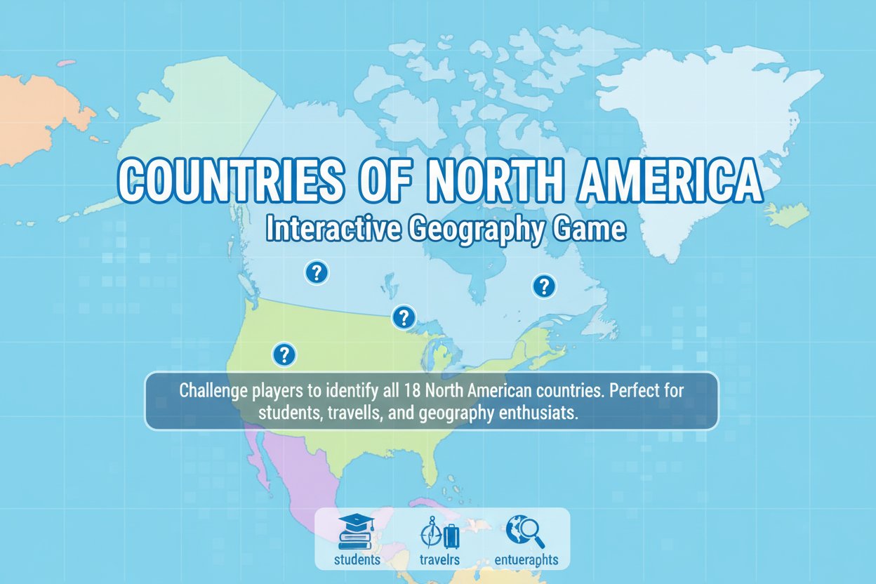
Game Introduction
About the Game
Countries of North America is an engaging educational geography game that transforms learning into an interactive experience. With a solid 4.3/5 rating from players worldwide, this browser-based quiz challenges you to identify all 18 countries that make up North America, from the well-known giants like Canada, the United States, and Mexico to smaller nations like Barbados, Cuba, and Greenland.
This HTML5-powered game is perfect for students preparing for geography tests, travelers planning North American adventures, or anyone curious about world geography. The game's intuitive point system and progressive difficulty make it suitable for all ages and skill levels.
Core Features
Comprehensive Country Coverage
The game includes all 18 North American countries, ensuring you get a complete geographical education. You'll learn to distinguish between mainland nations and Caribbean islands, understanding the full scope of North American geography.
Smart Learning System
Start each round with 100 points and learn from your mistakes. The game provides helpful feedback when you make incorrect selections, showing you which country you actually clicked. After three wrong attempts, the correct answer is highlighted, ensuring you never get stuck.
Progressive Difficulty
The key to mastering this geography game is repetition. Each playthrough helps reinforce your knowledge, and the scoring system motivates you to achieve perfect rounds by maintaining all 100 points.
Instant Accessibility
As an HTML5 game, it works perfectly in any modern web browser without downloads or installations. Play on your computer, tablet, or smartphone whenever you have a few minutes to spare.
Game Mechanics
The gameplay is straightforward yet challenging. You'll see a map of North America with country borders clearly marked. The game will prompt you to click on specific countries, testing your geographical knowledge systematically. Each correct answer maintains your score, while incorrect selections cost you points and provide learning opportunities.
The feedback system is particularly valuable for learning. When you select the wrong country, the game tells you exactly which nation you clicked, helping you build associations between country names and their locations on the map.
Educational Benefits
This game serves as an excellent supplement to traditional geography education. It helps players:
- Visualize Country Locations : Move beyond memorizing lists to understanding spatial relationships
- Learn Through Repetition : The scoring system encourages multiple playthroughs for better retention
- Build Confidence : Progressive improvement through the point system creates a sense of achievement
- Develop Map Reading Skills : Essential for understanding global geography and current events
Operation Guide
Starting the Game : Click the play button to begin your geography challenge
Gameplay : When prompted, click on the country name displayed at the top of the screen
Scoring : Begin with 100 points and try to maintain them throughout the game
Learning from Mistakes : Wrong answers show you which country you actually selected
Getting Help : After three incorrect attempts, the game highlights the correct answer
Goal : Achieve a perfect score by correctly identifying all countries without losing points
Why Play This Geography Game
Geography knowledge is more relevant than ever in our interconnected world. Whether you're a student studying for exams, a traveler planning adventures, or simply someone who enjoys learning, this game offers an engaging way to master North American geography.
The game's free accessibility means anyone can start learning immediately. No registration, no downloads, no barriers to education. The clean interface and intuitive controls make it suitable for users of all ages, from elementary students to adults refreshing their geographical knowledge.
The repetition-based learning approach is scientifically proven to improve long-term retention. By playing multiple rounds and learning from mistakes, you'll develop lasting geographical knowledge that extends far beyond the game itself.