Introduction
A location discovery game can connect landmarks through a short route, clue sequence or story. For tourism teams, a useful first version helps a visitor notice a place while keeping directions, access information and local guidance clear. A game should not send people somewhere unsafe or imply that an invented route is an official recommendation.
This guide uses Harbor Quarter, a fictional destination with a waterfront, market square and garden passage. Its locations, stories and route are invented. No tourism board, visitor or playable game is represented. Replace the scenario with locally reviewed information before publication.
Choose a visitor goal and a small area
Begin with what a visitor should discover: perhaps a public art theme, a sequence of architectural details or a set of visitor services. Select a compact area and a few stops. Keep the route optional and provide a non-location-based way to follow the activity for people who cannot or do not want to walk it.
Prompt 1 — destination discovery brief
Create a brief for a fictional location discovery game for a tourism team. Define the visitor audience, discovery goal, small geographic area, number of stops, estimated duration, accessibility alternatives, official information source and what must be locally verified. Mark the Harbor Quarter example fictional and do not invent heritage facts.
The brief should distinguish verified destination information from narrative framing and game fiction. Local partners or qualified reviewers should confirm names, access, opening hours and cultural context.
Connect stops with a clear route
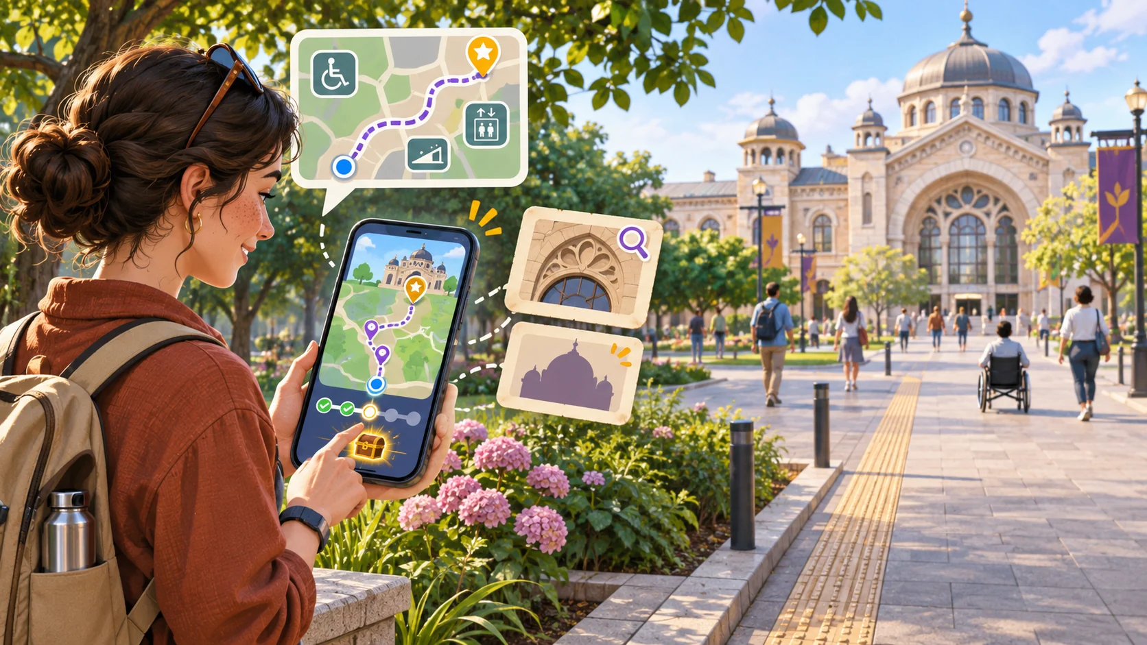
Each stop needs a reason to be there and a safe way to engage. A clue can invite a visitor to look at a public feature, compare two approved details or choose the next stop from a simple route. Avoid requiring people to cross roads while looking at a screen, enter restricted areas or scan markers placed without permission.
Prompt 2 — route and stop plan
Plan a fictional three-stop Harbor Quarter discovery route: waterfront welcome, market-square observation and garden-passage finish. For each stop state the purpose, clue, transition, safe viewing position and information requiring local confirmation. Offer a seated or digital alternative and do not provide real navigation coordinates.
| Route element | Fictional example | Check before using a real place |
|---|---|---|
| Welcome | Introduce the theme and choices | Is the entry point accessible and permitted? |
| Observation | Notice an approved public detail | Is the clue accurate and respectful? |
| Transition | Choose a next stop from a clear map | Is the route safe and open at relevant times? |
| Finish | Reflect and find official visitor information | Are services and onward links current? |
Use arrows, distance or time only after local validation. A conceptual map can communicate sequence, but it should not be mistaken for reliable turn-by-turn navigation.
Make clues specific without fabricating facts
A clue may direct attention to an observable feature, but claims about a building’s age, cultural meaning or ownership need sources and review. If the game uses a story, label it as fictional and keep it separate from interpretation presented as fact. Provide a way to skip a clue or request an accessible alternative.
Prompt 3 — clue writing and review
Draft three fictional discovery clues for Harbor Quarter using only invented visual details. Put each clue in a table with its intended observation, factual claims to verify, sensitivity review and accessible alternative. Clearly separate game fiction from real destination information.
For a real destination, source each factual statement and make local review part of the publishing checklist. Avoid implying an endorsement by local residents or businesses without permission.
Keep the route editable
Store stops, clues, official links, accessibility notes and provenance separately from game logic. The example below is a placeholder template, not a map or guide to a real place. Keep location coordinates blank until a destination owner approves them and decides whether precise location data is actually needed.
{
  "gameName": "Harbor Quarter — fictional discovery route",
  "statusLabel": "Concept example; not a real destination guide",
  "visitorGoal": "Notice a small set of locally reviewed public details",
  "area": "fictional compact waterfront district",
  "stops": [
    {"id":"welcome","label":"Waterfront welcome","coordinates":null,"clue":"Look for a color repeated in the fictional scene","sourceStatus":"invented"},
    {"id":"observe","label":"Market-square observation","coordinates":null,"clue":"Compare two shapes shown in the fictional artwork","sourceStatus":"invented"},
    {"id":"finish","label":"Garden-passage finish","coordinates":null,"clue":"Choose a reflection prompt","sourceStatus":"invented"}
  ],
  "routeMode": "visitor chooses the next stop; no live tracking required",
  "accessibility": ["text route", "seated alternative", "keyboard navigation", "screen-reader labels", "reduced motion"],
  "officialInformationUrl": "REPLACE_WITH_APPROVED_DESTINATION_URL",
  "reviewFields": ["place names", "opening and access details", "safety", "cultural context", "permissions", "links"],
  "evidenceStatus": "fictional and untested"
}
An editable route makes it easier to update a closed stop or replace a clue. Keep an owner and review date with any real destination information, and make the official source easy to reach from every stage.
Build and inspect one playable route
A first playable slice can include an introduction, three stop cards, clue responses, a progress marker and a finish screen. It does not need continuous GPS. Manual selection can reduce location-data collection and work better in settings where a phone’s location is inaccurate. Make clear whether the prototype is a concept, simulation or working interaction.
Prompt 4 — playable discovery slice
Build a local prototype of the fictional Harbor Quarter route from the editable template. Include three selectable stops, clue text, progress, a skip option, text route, accessibility controls and an official-information placeholder. Do not use live GPS or real coordinates. Mark which controls work, which screens are static and what local reviews are still needed.
Inspect whether a visitor can tell where they are in the game, how to continue or stop, and how to access the alternate route. Do not report that the physical route is safe or accessible based on a screen prototype.
Simulate a destination customization
For a fictional adaptation, imagine turning Harbor Quarter into Pine Ridge Village, a made-up mountain community. Change the route theme, stop labels and clue format while retaining source notes and access alternatives. Then check whether every real-world place detail is still marked for local verification. This is a simulated exercise, not a tourism partnership or visitor test.
Prompt 5 — fictional destination adaptation
Adapt the Harbor Quarter template into a fictional Pine Ridge Village discovery activity. Replace the area, stop labels, theme and clues. Keep coordinates blank, preserve accessibility alternatives and list claims requiring local sources or community review. Label all scenario details fictional and untested.
Prompt 6 — destination quality review
Review the local discovery-game prototype for route clarity, safe screen use, accessibility, source labels, cultural sensitivity, permissions, opening-time assumptions, privacy, official-information links and closure fallback. Mark each item observed, static, missing or not tested. Do not claim that a real route was reviewed.
Plan a responsible field check
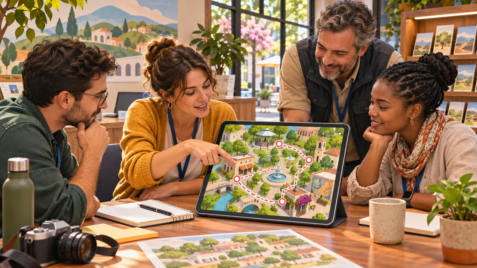
Before sharing a live route, ask destination owners and relevant local reviewers to verify stops, access, opening hours, permissions and interpretation. A field check should assess physical safety and accessibility in context. If location services, analytics or user-submitted content are proposed, review privacy and moderation before collection. A digital prototype cannot establish that a walking route is suitable.
Prompt 7 — launch and field-review checklist
Prepare a launch checklist for a location discovery game. Include local fact sources, place permissions, physical route review, accessible alternatives, weather or closure updates, official visitor links, privacy, moderation and ownership. State a verification method for each and leave results pending until actually checked.
Conclusion
A location discovery game for tourism teams should connect a few reviewed stops to a clear visitor goal and preserve accurate, accessible destination information. Keep the route editable, make clues distinguish fiction from fact, and avoid relying on live location unless it is needed and approved. Harbor Quarter and Pine Ridge Village are fictional; no route or playable game was tested. Have local owners review place details and field conditions before publishing a real visitor route.
You can shape a small concept in the Free AI game maker, then compare it with the editable route template.
FAQ
What is a location discovery game?
It is an interactive route or clue activity that invites visitors to notice selected places or details, often through a browser or mobile interface.
Should a tourism discovery game require GPS?
Not necessarily. A selectable route or clue cards can work without live tracking and may reduce privacy and accuracy concerns.
How can tourism teams keep clues accurate?
Source factual statements, have destination owners or qualified local reviewers check them, and label fictional story elements clearly.
How can a location game support visitors with different access needs?
Offer a text route, seated or digital alternative, keyboard and screen-reader support, readable instructions and a skip option, then review the actual route locally.
Does a prototype prove that a walking route is safe?
No. Physical safety, opening conditions and accessibility require a context-specific local review; a screen prototype cannot establish them.